


Infofinder app for iPhone and iPad
Developer: Transfinder
First release : 20 May 2013
App size: 30.55 Mb
Infofinder mobile
By Transfinder Corporation
This product accesses a school district’s installation of Routefinder Pro, Transfinder’s school bus routing software system.
Description
With Infofinder mobile your critical information in Routefinder Pro is portable and accessible anywhere, anytime.
Access data on students, vehicles, schools, staff, trips and stops, and alternative sites from anywhere. Allowing you to take action when needed.
No longer tethered to your office, you are free to be in the field at any time and still be able to respond to emails, phone calls, and incidents with the latest and most critical information.
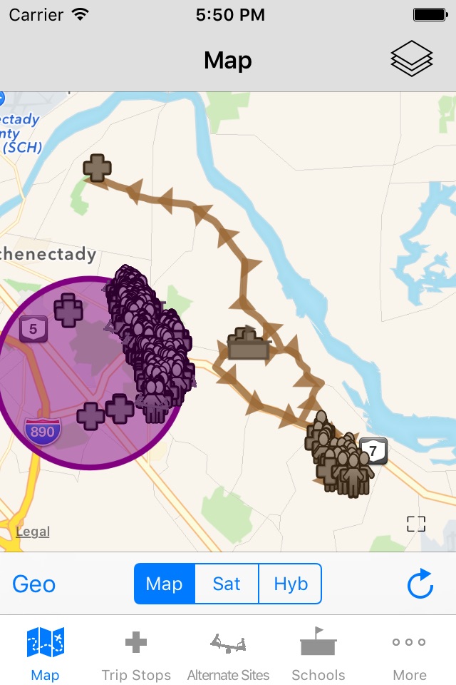
Visualize and Share Data
Easy-to-navigate maps (with satellite layering) enable you to visualize and share data on students, vehicles, trips, and stops.
• Using our Geofinder search tool, you can highlight a selected area on the map and immediately see all the information associated with that particular area. You can then share this with others in the district via email or through a report.
• If you have pre-defined Geo-regions in your system, such as hazardous or predator zones, you can display them on the map and identify all vehicles, students, stops, and trips affected.
• If your buses are equipped with GPS, you can analyze your planned routes compared to where your buses actually traveled.
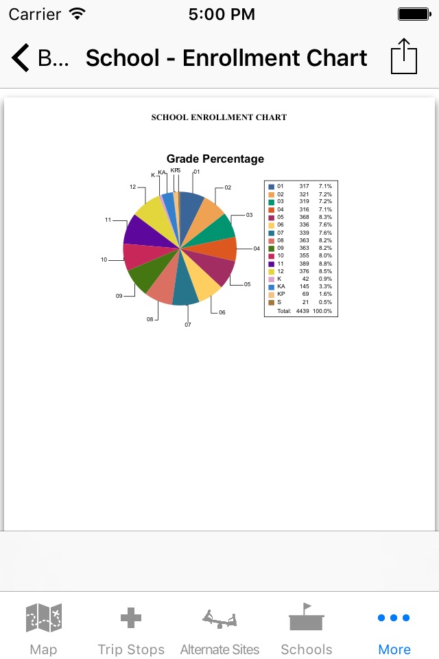
Access Reports in Real-Time
Reports stored in your routing system are available in real-time. You no longer need to return to your office to log into your system to access a particular report. You can do this on the spot, saving much needed time and energy.
Document Actual Events
Whether responding to a bus accident, or incident on a bus, or at a stop, you have the information needed to manage and document the event in the palm of your hand.
While at the site, you can take a photo or video, attach it to the affected vehicle, driver, and student files, and email it to local emergency management authorities. You can then notify designated district personnel, parents, or guardians.
If GPS is installed on your buses, you can tell where they are in relation to the incident. You can then alert one or more buses to pick up students at the site, and alert others to take alternate routes to avoid it. Continued use of GPS running in the background can dramatically decrease battery life.
Empower the Entire District
With data at your fingertips, you can share information at Board meetings, enabling the Board to better understand your transportation operation, and thereby, make more informed decisions.
Infofinder mobile also allows administrators in the district to access information or reports on their own whenever they need them.
Infofinder mobile is available for the iPad® and iPhone®.